 Object dating: Bronze Age – Middle Ages.
Locality: Amangeldy region, 15 kilometers to the east of Ushtogay village; 15 kilometers south-east to Amangeldy village.
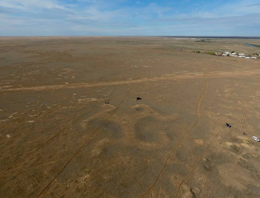
Mysterious Torgay geoglyphs represented by relief geometric and figured patterns on the earth surface that could be observed from a bird’s-eye view and obtained worldwide fame. Nearly 200 figures have been found in Kostanay region. The first data concerning these objects was provided in the course of general meeting of Orenburg Archival Scientific Commission in 1909. In 2007, the objects were discovered by Dmitry Dey while he was studying satellite
images by means of Google Earth program. The research was carried out by the staff of the archaeological laboratory of Kostanay University headed by Andrey Logvin. According to the archaeologists’ hypothesis, geoglyphs had ritual and sacral aims.
Ushtogay square geoglyph is a geometric figure distinguished by marked diagonals. The square side is 287 m long whereas the diagonal is 406 m long. The figure is composed of one hundred and one mounds with a diameter of 10-12 m, up to one meter high. Ushtogay square has attained fame among esoteric cult adherents, who consider this geoglyph to be a “place of power”, an energy channel between the man and the space.
The geoglyph Torgay Trikvetr is a land mound represented by three rays, ending in a zigzag shape, the ends of which are bent counterclockwise. Swastika fits into a circle with a diameter of 90 m, a 0.3 m deep basin is located in the center of the figure.


 Қазақ
Қазақ Русский